

Description
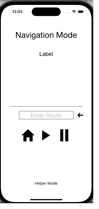
Consisting of a wearable GNSS (Global Navigation Satellite System) module, and a smartphone (e.g., iPhone) This system empowers a person to traverse a predetermined route confidently in both familiar and unfamiliar places via audible queues delivered by the smartphone.
Another aspect of this system is a “Helper Mode” to create and store a set of highly accurate GPS locations which make a route for precise point-to-point navigation.
Please contact us to get more details of how it works at info.engineering2design@gmail.com or 978-243-0946.

Application of Vision Impaired Navigation System

Screen shots of smartphone application for Navigation Mode and Helper Mode to set waypoints
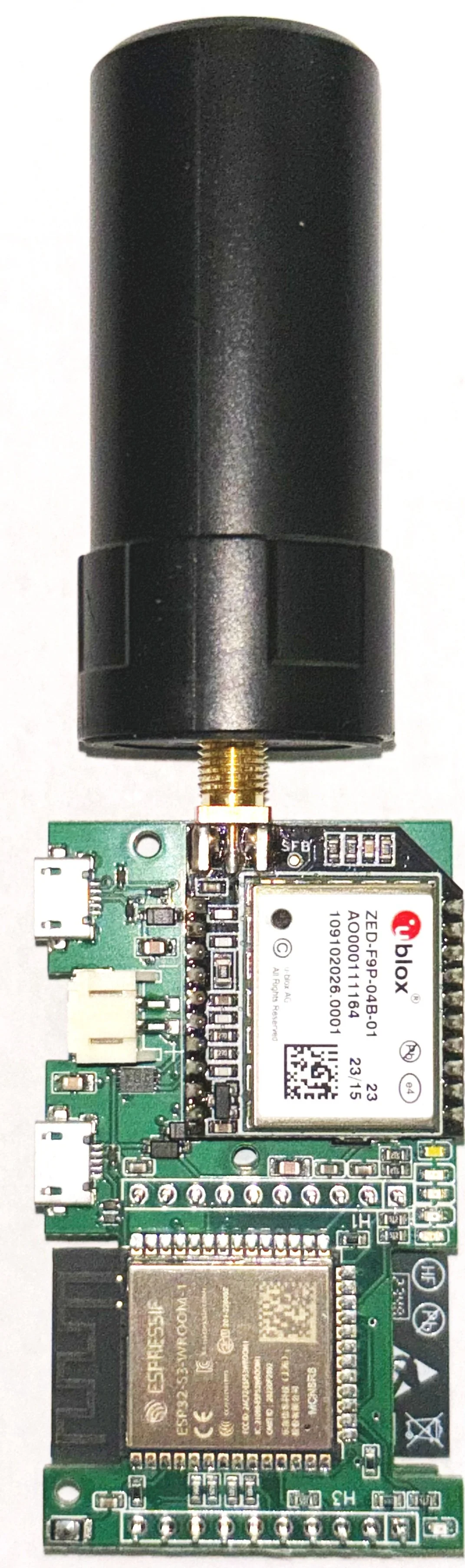
GNSS Module with antenna

Illustration of route by importing GPS locations from GNSS deivce to mapping website